
Forestry
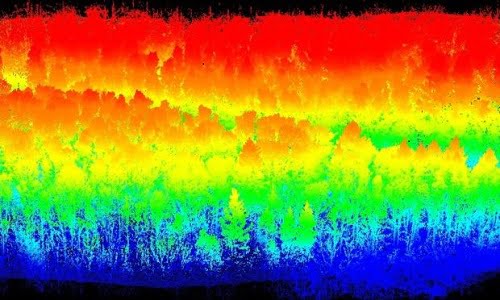
Vehicle and drone based LiDAR forest mapping protects Scottish woodland
Posted on July 1, 2024 in Categories
The Routescene team assisted Innovair, a Scottish based survey and inspection service company, to carry out LiDAR forest mapping of an area managed by Forestry and Land Scotland. This... Read more
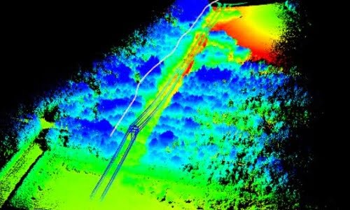
Improve powerline vegetation management using UAV LiDAR
Posted on October 4, 2021 in Categories
This is the sixth in our series of forestry related case studies to demonstrate the superior capabilities of the Routescene UAV LiDAR system for forestry management use. This LiDAR powerline... Read more
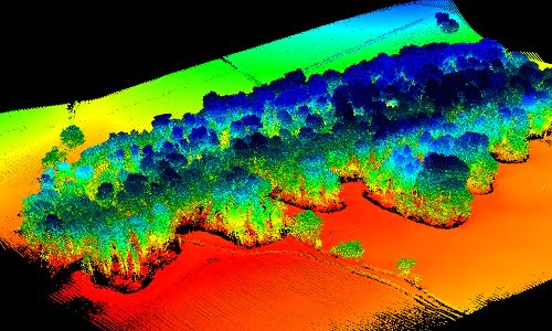
How UAV LiDAR technology is transforming operational forest management
Posted on August 17, 2021 in Categories
Applications of UAV LiDAR forest management Point cloud data captured using UAV LiDAR continues to demonstrate its value in this forestry case study. The Digital Terrain Model (DTM) created illustrates... Read more
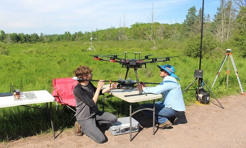
LiDAR forestry surveys to inform carbon reduction policies
Posted on July 14, 2021 in Categories
Forest canopy structure characterization using Routescene drone LiDAR system This forestry project, undertaken by the University of Wisconsin-Madison (UW-Madison), employed a Routescene LiDAR System RS4 on an Unmanned Aerial System... Read more
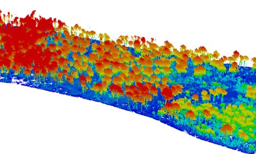
Using UAV LiDAR to assess vegetation and establish forest fires severity
Posted on May 21, 2021 in Categories
Using UAV LiDAR to understand the characteristics of forest fires Forest fires are becoming more common due to climate change and bring considerable ecological and economic loss. Understanding the characteristics... Read more

UAV mapping the Arctic tundra to understand climate change impacts
Posted on November 25, 2020 in Categories
As the permafrost warms in the Arctic, the landscape is undergoing rapid change, evidenced by vegetation shifts and the release of carbon dioxide and methane into the atmosphere, gases... Read more
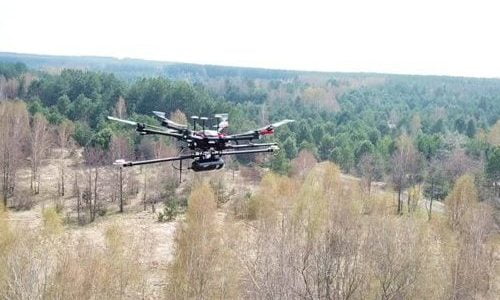
UAV LiDAR mapping helps reveal radiation hotspots at Chernobyl
Posted on April 26, 2020 in Categories
Routescene UAV LiDAR mapping technology used to map Chernobyl forest After thirty years since the explosion at Chernobyl, a team of researchers have used the Routescene UAV LiDAR mapping system... Read more
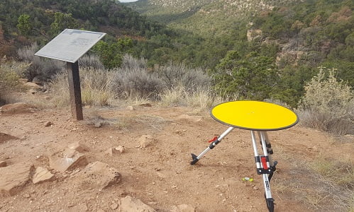
UAV LiDAR used in archaeology to identify 750 year old structures
Posted on August 6, 2019 in Categories
Mapping the Canyons of the Ancients National Monument When Crow Canyon Archaeology Center and the Canyons of the Ancients National Monument looked to map Sand Canyon, an ancestral Pueblo site... Read more