
LiDAR Drone Surveying Software
LidarViewer Pro helps you process complicated datasets and large files sizes to improve productivity.
Simplify complex LiDAR data processing tasks with LidarViewer Pro
High resolution LiDAR data is difficult and time consuming to analyze. It's made more complicated because the data has been dynamically captured and you need to undertake boresight alignment to calibrate your system. Using LidarViewer Pro you can handle large and complex data with ease.
Streamline the processing of large datasets
UAV LiDAR mapping solutions collect large quantities of data, up to 8 Gigabytes per hour, and a project las file of 20Gbyte is common with billions of data points collected.
Processing that amount of data takes time. LidarViewer Pro helps you simplify this by:
- reducing the amount of data you need to process
- automating your processing
1. Data reduction tools
You will always collect much more data than you need. By removing any unnecessary data you can immediately reduce the number of points that you need to process in the subsequent steps of your workflow. This will make it much easier and faster for you to process your data and achieve your final output. LidarViewer Pro provides a range of tools and filters so you can reduce your data before you begin to analyze it:
Example: The Sections tool
With the Sections tool you can remove the data you don’t need such as the data collected from the drone takeoff to the start point of your survey and the data from the end point of your survey to the drone landing point. These simple steps can remove around 1.4 million data points from the start and end of your survey.
You may wish to analyze specific sections of your survey containing certain features or assets. Using the Sections tool you can crop out all the data not relating to these features to focus on the sections of interest.
Example: Range Reduction filter
This filter enables you to hide all points that are a certain distance from the UAV LiDAR system. This reduces the data by removing duplicate data captured due to overlapping flight lines.
2. Batch processing for automation
Batch processing is a well-known computing method to run high volume, repetitive data jobs automatically. LidarViewer Pro offers pre-developed filters, filter chains, layers and workflows so you can batch process your LiDAR datasets to create deliverables for your customers.
What’s a filter?
A filter is a specific tool that enables you to apply a specific action to your data. LidarViewer Pro comes with over 60 pre-developed filters ready for you to use to process your LiDAR datasets. You can undertake a variety of actions including data cleaning, data reduction, analysis and classification, coordinate conversion, and export to third party software. Using these filters you can process more data in the same timeframe to be more productive.
Example: Noise reduction filter
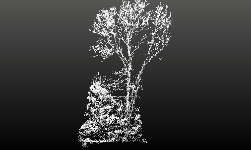
After you’ve reduced your data you’ll want to clean it to remove any noise in your data. This reduces the size of your dataset and improves the integrity of your final outputs. A good example is to remove birds that were captured in flight during your survey.
Example: Laser ID reduction filter
This filter allows you to hide the data captured by some of the lasers in your LiDAR system which will make processing much faster. You can use this if your survey was over open ground with little or no vegetation. You can reduce the number of lasers for example from 32 to 25 without impacting on the quality of your final output AND this will massively speed up processing.
Example: Dual return reduction filter
If you have collected your data using dual return and the second return is less than a meter away from the first return it will not add value to your outputs, you effectively have the same point twice and you only need it once. Using the dual return reduction filter you can remedy this.
What’s a filter chain?
To automate your processing you can group filters into filter chains, created by simply dragging and dropping filters in LidarViewer Pro. This means you can perform tasks easily and quickly without having to navigate through multiple menus. You can save your filter chains and share them with colleagues. We have created a range of pre-set filter chains so you can perform popular tasks.
Example: Bare Earth Tool
This tool extracts all the ground points and the output data is captured in a new layer in LidarViewer Pro. Typically there will be gaps in your data where no lasers have hit the ground.
Example: Digital Terrain Model (DTM) filter chain
Most of our customers wish to achieve a DTM. The DTM filter chain performs an IDW interpolation on the results from the Bare Earth Tool to fill in the gaps and create the DTM.
By using these two filter chains you can create a DTM within seconds.
What’s a layer?
Using the comprehensive layers functionality you can overlay different layers of data to build a complete picture of your survey site. A layer is a geographical database containing points, lines, polygons or raster images and their attributes. Data held in layers can either be processed from the raw LiDAR data or imported into LidarViewer Pro. The different layers in LidarViewer Pro are the Frame layer, Point layer, Raster layer, Image layer and Vector layer.
Example: Point layer
The Point layer contains the whole or a subset of the point cloud, for example you can create a Point layer which only stores the points classified as ground.
What’s a workflow?
You can use workflow to further automate your processing. Typically a workflow in LidarViewer Pro will include a combination of filters, filter chains and layers to create an output. Different workflows achieve different outputs.
Workflows are repeatable. This provides quality control and means you can apply workflows consistently to multiple datasets and to repeated survey data collected over time to compare and contrast results.
Example: Pre-process to DTM workflow
You may need to undertake a woodland survey in the summer and repeat it during the winter once the foliage has dropped to achieve as detailed a DTM as possible. You decide to set up a workflow which will include a “pre-process” filter chain to reduce your data using the Range reduction filter and the Dual return reduction filter, saving the results in a Frame layer; then you add the Bare Earth Tool and the DTM filter chain, saving the DTM in a Raster layer. You then save this workflow to apply to your winter dataset once you’ve collect it.
Who should use LidarViewer Pro?
Specially designed for UAV and Vehicle LiDAR Systems users, using LidarViewer Pro you can process complex and large datasets to generate meaningful results.


