
UAV Ground Control
Establishing ground control is a vital component of Quality Assurance and Quality Control
UAV Ground Control
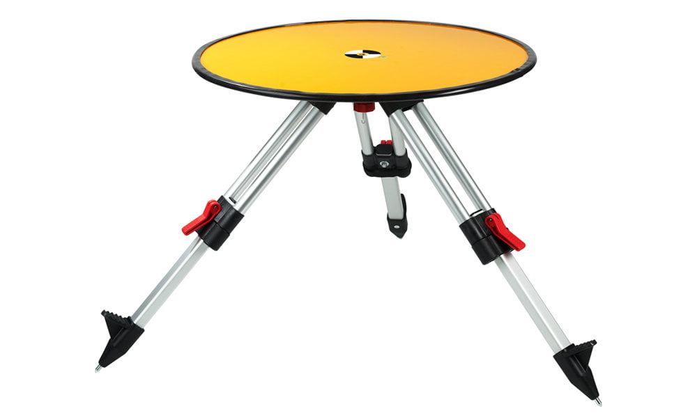
UAV Ground Control Targets
Use for UAV surveys to improve accuracy and demonstrate the level of accuracy achieved.
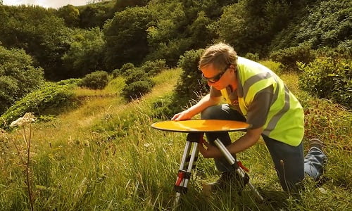
Article: Improve UAV survey accuracy using Ground Control Targets
Describes how deploying ground control using Targets improves confidence in your results.

Ground Control Frequently Asked Questions
Our Frequently Asked Questions about Ground Control provide insight into why it’s important and how to establish it.