
LiDAR data processing software – Purepoint
Professional 3D mapping software to visualize and process LiDAR data to achieve clarity
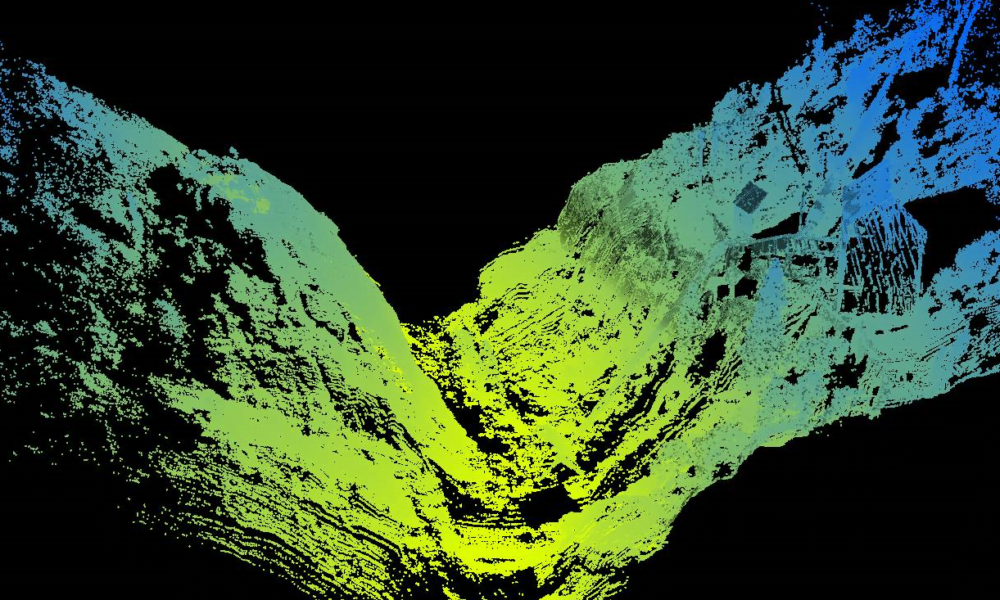
Powerful LiDAR data processing software
Using Purepoint you can easily turn your data into actionable business information. You can georeference, clean, reduce, analyze and visualize your data. You can ensure the integrity of your LiDAR data, create and export your final outputs, such as a Digital Terrain Model, all from Purepoint .
Find out moreSolve data processing challenges using Purepoint
The biggest challenge when performing any LiDAR survey is the data processing. You need to simplify and reduce the time you spend processing your LiDAR data to achieve a deliverable for your customer.
Find out moreThe benefits of Purepoint

Improved project efficiency
Achieved through batch processing using filters, filter chains, layers and workflows combined with a fast processing speed.
Single, desktop based software
You can process all of your LiDAR data in one application and you can use it securely in the field wherever you are.
Compare and correlate different data layers
Using Purepoint’s multiple layers functionality you can build a complete picture of your survey site.
Data processing workflows
Complex tasks are more manageable with Purepoint’s suite of tools and workflows – you can save, share and repeat tasks easily.
High quality results
In Purepoint you can produce a Quality Assurance Report to ASPRS standards for every survey you perform to verify your results.
Create digital outputs
You can provide usable digital outputs, such as a canopy height model or a classified point cloud, simply and quickly using Purepoint.


Why choose Purepoint?
60+ pre-defined filters ready for use
Drag and drop filters to create filter chains for batch processing
Manually edit your LiDAR point clouds
Multiple layers functionality to analyze different types of information
Ready made filter chains for popular tasks such as to create a Digital Terrain Model
Run filter chains sequentially to produce a workflow
Save and share filter chains and workflows with colleagues
LiDAR frames functionality gives you flexibility to analyze only the segments of data you need
Built-in Quality Assurance process
1 year support and maintenance agreement included
Who should use Purepoint?
Specially designed for UAV and Vehicle LiDAR Systems users, using Purepoint you can process complex and large datasets to generate meaningful results.


