
Environmental
Preservation and sustainability of the natural environment.

Detailed UAV LiDAR data for environmental monitoring and modelling
Climate change, population growth and human advancement are having a devastating effect on the natural world. UAV LiDAR can be used across multiple disciplines to help conserve habitats and restore environmental damage.
The applications of drone LiDAR in the environmental sector include:
- environmental monitoring
- estimating risks from extreme events
- disaster recovery
- improve urban sustainability
- habitat and biodiversity conservation
- erosion monitoring and conservation
- invasive non-native species monitoring
Routescene UAV LiDAR systems excel at penetrating through vegetation, capturing the top, mid and lower vegetation layers and the ground below. Perfect for difficult terrain such as steep slopes, hazardous or sensitive environments where access is often difficult.
Why the Environmental sector chooses Routescene products
Save time and improve productivity using our end-to-end solution
Access our knowledge and expertize to achieve optimal results
Streamlined data processing using filters, filter chains, layers and workflows
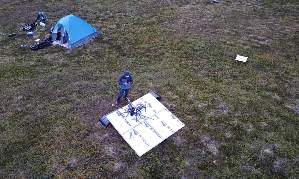
Case Study: Mapping the Arctic tundra watershed using UAS LiDAR
The Arctic landscape is undergoing rapid change evidenced by vegetation shifts and the release of carbon dioxide and methane into the atmosphere. A team from the Los Alamos National Laboratory, USA investigated these changes in detail at the Seward Peninsulain Alaska. The project is part of a larger programme which aims to improve global climate model predictions.
Read the case study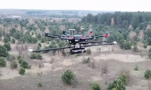
Case Study: LiDAR helps reveal radiation hotspots at Chernobyl
Researchers from the National Centre for Nuclear Robotics (NCNR), which includes the University of Bristol, surveyed a variety of sites around the Chernobyl nuclear power plant using the Routescene UAV LiDAR mapping system. The aim was to create a map of radiation levels to ensure the safety of officials working across the site; and to inform processes to map radiation levels in the event of a future nuclear accident.
Read the case studyRoutescene products for the Environmental sector

UAV LiDAR Systems
The Routescene drone LiDAR mapping solution includes hardware, data processing software, QA software, extensive training and support packages.
Benefits

Data processing software
3D LiDAR mapping software to visualize and process LiDAR data to deliver final outputs. Using LidarViewer Pro you can vastly reduce your LiDAR data processing time.
Benefits

Ground Control Targets
Use for LiDAR and photogrammetry UAV surveys to improve accuracy and demonstrate the level of accuracy achieved.