
LiDAR terrain mapping systems
UAV and vehicle systems and software
LiDAR mapping solutions
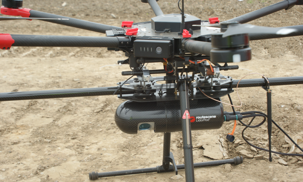
LiDAR mapping systems for drones and UAVs
Range of UAV LiDAR systems for different applications, performance and price requirements.
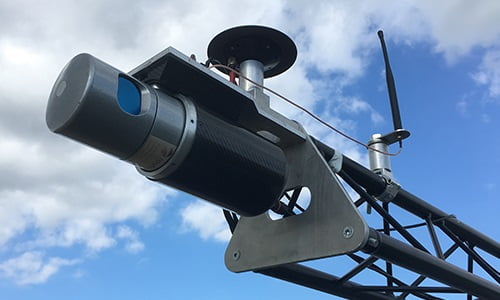
LiDAR mobile mapping system
Vehicle LiDAR system for road based surveys. Includes all you need to collect and process precise survey data.
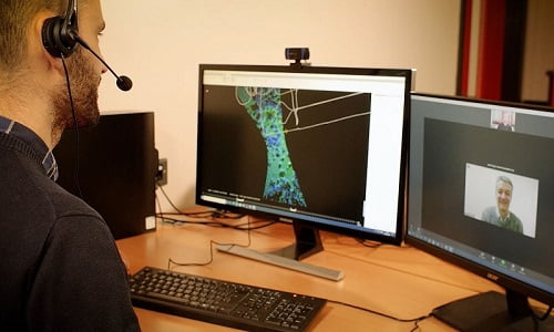
Training and support
Realize optimal results easily and quickly with our in-depth training and access to responsive technical support.