Applications
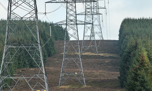
End-to-end systems and software solve specific industry problems and increase productivity
Common applications for Routescene products
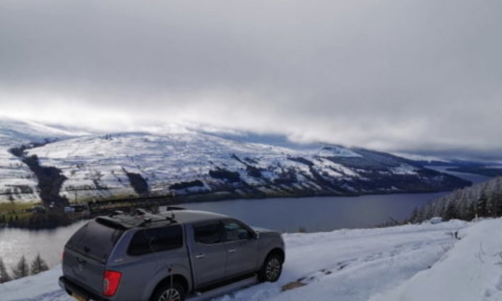
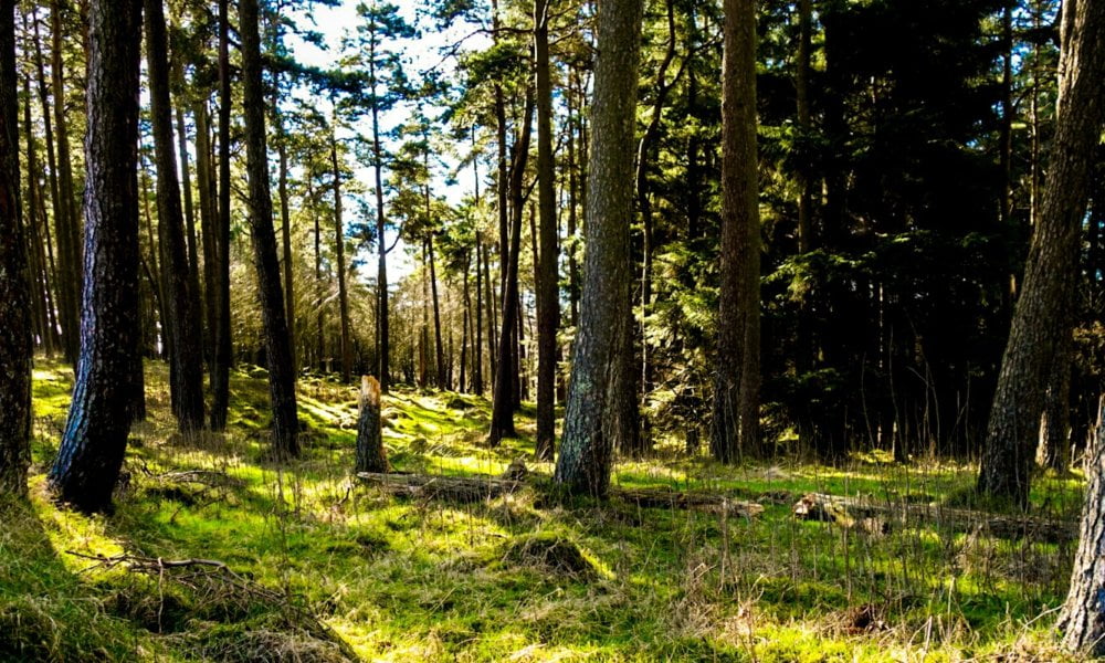
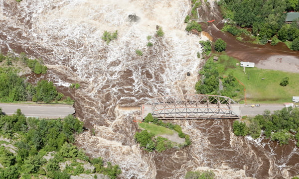
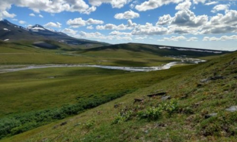
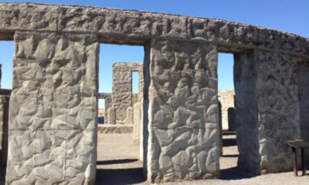
Survey and mapping
Our systems and software have been created by surveyors for professionals.
End-to-end systems and software solve specific industry problems and increase productivity
Our systems and software have been created by surveyors for professionals.