
Forestry
To visualize and analyze the forest layers and the ground.

High resolution data for forest planning, management and conservation
The active management of forests and woodlands brings social, economic and environmental benefits.
The applications of UAV LiDAR in forestry are wide and varied and include:
- forestry management: planning, development and maintenance of forests
- forest health
- woodland valuation
- natural resource and wildlife monitoring
- managing the impact of environmental issues e.g. infestations and forest fires
- impact of recreational activities
- carbon sequestration
Traditionally, foresters and land managers have relied on topographic maps for terrain classification and time consuming field-based surveys to obtain tree volumes and height information.
LiDAR data provides significant advantages over both of these techniques. UAV LiDAR can penetrate through vegetation to visualize the canopy, the understory vegetation and the ground beneath.
Why the Forestry sector chooses Routescene products
High resolution, high accuracy system option for superb vegetation penetration
High altitude system option for forests with tall trees
Visualize and analyze the forest canopy, understory layers and the ground
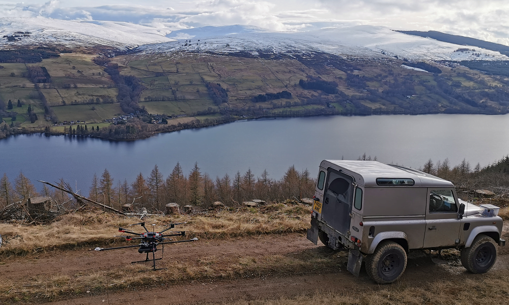
Case Study: Vehicle and drone based LiDAR forest mapping protects Scottish woodland
The aim of this project was to collect and process survey data to develop a plan to manage a forest under threat from an approaching plant pathogen. The rich dataset enabled the team to identify surface hazards, assess slope stability impacts, develop a felling plan and design a drainage plan.
Read the case study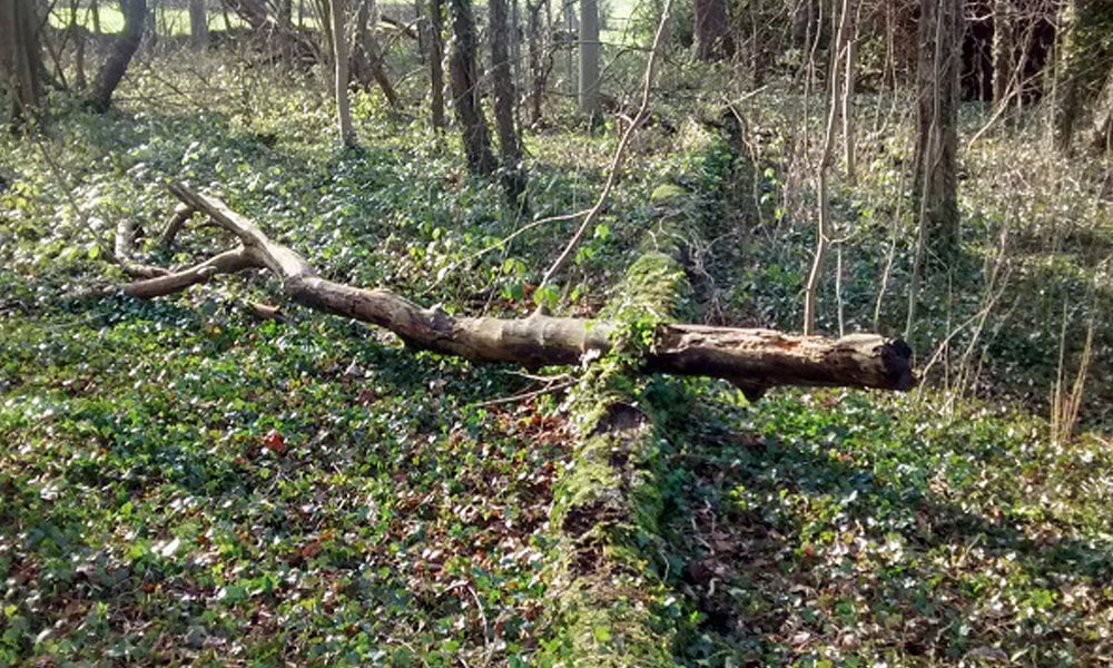
Case Study: How UAV LiDAR technology is transforming operational forest management
Data captured in a drone LiDAR forestry survey was processed to generate Digital Terrain Models (DTMs). The results illustrated how this technology can improve operational forestry management. From identifying tree classifications to establishing tree heights and growth rates, the data can be used to inform future conservation and land management.
Read the case studyRoutescene products for the Forestry sector

UAV LiDAR Systems
The Routescene drone LiDAR mapping solution includes hardware, data processing software, QA software, extensive training and support packages.
Benefits

Data processing software
3D LiDAR mapping software to visualize and process LiDAR data to deliver final outputs. Using LidarViewer Pro you can vastly reduce your LiDAR data processing time.
Benefits

Ground Control Targets
Use for LiDAR and photogrammetry UAV surveys to improve accuracy and demonstrate the level of accuracy achieved.