UAV LiDAR
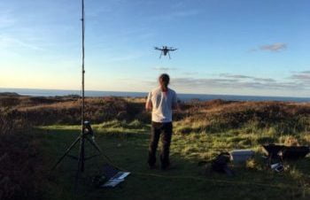
Drone LiDAR surveying locates new structures at WWII prison camp
Posted on November 15, 2019 in Archaeology, Research, and UAV LiDAR
Archaeological UAV LiDAR surveying reveals hidden structural elements The Routescene UAV LiDAR System and data processing software were key components in an archeological survey on Alderney in the Channel Islands,... Read more
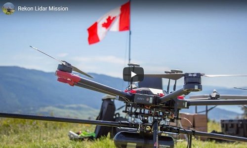
Transmission line survey using LiDAR for drones system
Posted on September 16, 2019 in UAV LiDAR and Utilities
LiDAR for drones use case by Rekon Solutions Watch the video as Routescene customer Rekon Solutions Inc set up and fly their UAV LiDAR System on their drone. The survey... Read more
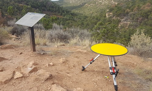
UAV LiDAR used in archaeology to identify 750 year old structures
Posted on August 6, 2019 in Archaeology, Forestry, and UAV LiDAR
Mapping the Canyons of the Ancients National Monument When Crow Canyon Archaeology Center and the Canyons of the Ancients National Monument looked to map Sand Canyon, an ancestral Pueblo site... Read more
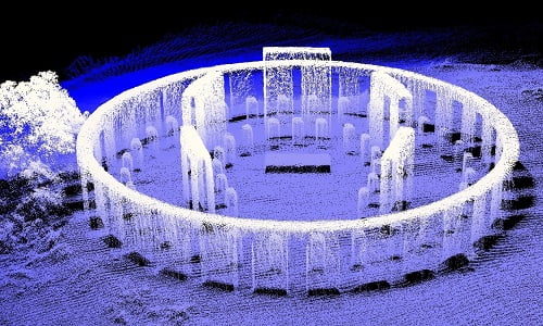
LiDAR aerial mapping of “Stonehenge replica” military monument, USA
Posted on July 26, 2019 in Archaeology and UAV LiDAR
WWI monument captured using drone LiDAR The Glasgow School of Art has published a book to celebrate some of the most beautiful and striking LiDAR point cloud datasets from around... Read more