Posted on July 20, 2023 in Accuracy and UAV LiDAR
This guide explains what heading is and why you need dual GNSS heading for UAV LiDAR surveys.
What is heading?
The term “heading” describes the current direction in which the drone and payload are moving. Heading is measured in degrees (there are 360 degrees in a full circle), clockwise from either the True or Magnetic North. You need to know your heading to accurately process your LiDAR data.
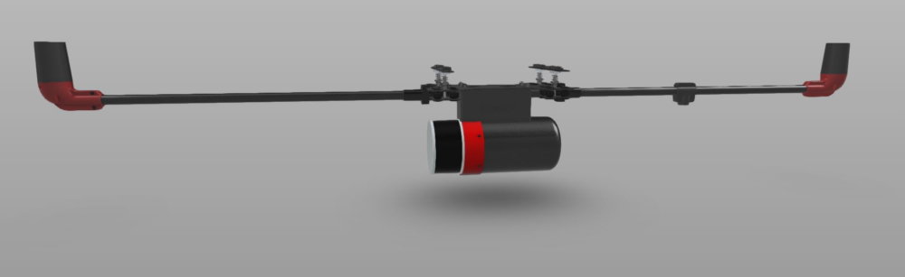
Dual GNSS heading is standard on Routescene UAV LiDAR Systems.
Why do I need dual GNSS heading?
For airborne and UAV LiDAR surveys the best method to establish heading is using a dual antenna GNSS receiver. The GNSS heading is obtained by using an RTK short baseline method. This method provides not only position and velocity information but also True heading which remains accurate even when stationary.
Advantages of dual antenna GNSS are:
- Works when stationary.
- Ideal for low dynamic environments such as UAV LiDAR surveys.
- Calibration-free.
- Free from magnetic disturbances.
- It is the most accurate solution.
Analysis of single antenna GNSS\INS systems on the market concluded that a dual antenna system provides a heading accuracy that is up to 3 times more accurate. This heading accuracy gain ultimately ensures that the final point cloud is also more accurate.
Dual antenna systems are much more sensitive to GNSS conditions than single antenna systems. It should be operated in open sky conditions for optimal performance.