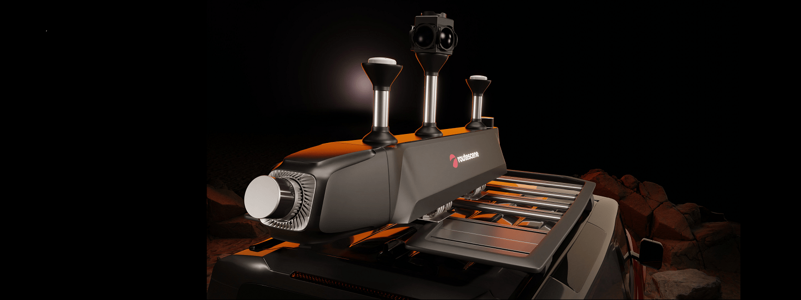
Vehicle System - Detailed product technical specification

Suitable applications and key features
Suitable applications and key features
| Vehicle LiDAR System | |
|---|---|
| Benefits | Robust Proven technology LiDAR sensor made in the USA |
| Applications | Asset management Highways management Construction and infrastructure mapping Urban environment mapping Environmental topography mapping Vegetation management |
| LiDAR sensor | Velodyne HDL32 |
| Maximum LiDAR range (feet / m) | 328 / 100 |
Accuracy
Accuracy
| Vehicle LiDAR System | |
|---|---|
| LiDAR range accuracy (inches / mm) | 0.8 / 20 |
| GNSS\INS system | Mapping grade |
| Absolute post processed accuracy at 30m range from scanner (inches / mm) | 1.5 / 39 |
| Absolute post processed accuracy at 80m range from scanner (inches / mm) | 3.4 / 87 |
Upgrade options
Upgrade options
| Vehicle LiDAR System | |
|---|---|
| Include a survey grade INS sensor? This improves the accuracy of the overall system by approximately: | x2 |
| Include an RTK receiver in the Ground Station? | |
Resolution
Resolution
| Vehicle LiDAR System | |
|---|---|
| Number of lasers | 32 |
| Number of returns | 2 |
| Maximum number of points/second | 1,390,000 |
| Field of view (Along track) (degrees) | 41.33 |
Environmental
Environmental
| Weight of system (lbs / kg) | 5.3 / 2.4 |
| Dual power input | Yes |
| Voltage range (VDC) | 12-48 |
| Operating temperature (Celsius) | -20 to +60 |
| Internal data storage (Gb) | 120 |
| Trigger external camera with analogue, IR or PWM pulse | Yes |
| LiDAR sensor wavelength (nm) | 903 |
