Applications

End-to-end systems and software solve specific industry problems and increase productivity

Common applications for Routescene products
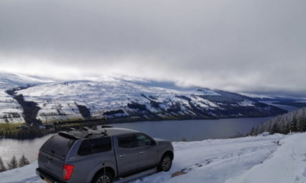
Routescene Vehicle LiDAR system used for forestry mapping

Survey and mapping

Our systems and software have been created by surveyors for professionals.

Benefits

  • Survey and mapping grade options to suit your performance and price requirements
  • Quality Assurance as standard to reduce errors and achieve quality results
  • Data processing: multiple layers functionality to build a complete picture of your survey site
Survey and mapping
Image of forest

Forestry

For forestry management: planning, development and maintenance.

Benefits

  • High resolution, high accuracy system option for superb vegetation penetration
  • High altitude system option for forests with tall trees
  • Visualize and analyze the forest canopy, understory layers and the ground
Forestry
Image of flooded river and broken bridge

Environmental

Conservation, land monitoring, drainage, environmental disaster recovery.

Benefits

  • Save time and improve productivity using our end-to-end solution
  • Access our knowledge and expertize to achieve optimal results
  • Streamlined data processing using filters, filter chains, layers and workflows
Environmental
Image of research project in Arctic Tundra

Research

Proven products for environmental, forestry and geospatial research.

  • 35+ years’ survey, LiDAR, GIS and data experience applied to develop our products
  • 6 step Survey Project Workflow to undertake systematic and streamlined surveys
  • Desktop based data processing: secure access from remote locations worldwide
Research
Image of powerline pylons in corridor cut through forested landscape.

Utilities

Powerlines, overland pipelines, telecoms, rail or road.

  • System options to suit vegetation management and asset location applications
  • Carefully thought through workflows to improve productivity and rate of return
  • Data processing: deliver digital outputs direct to your customer
Utilities
Image of Military monument, USA

Archaeology

For archaeology, forensic archaeology, heritage and preservation.

  • High vegetation penetration system option to visualize the ground and analyze your site
  • Workflow, software, hardware, firmware, training and support
  • Data processing: easily consumable Digital Terrain Model to review your site for artefacts
Archaeology