The 3D mapping solution
Beyond the point... using our knowledge to help customers solve real problems
Get started todayBeyond the point... using our knowledge to help customers solve real problems
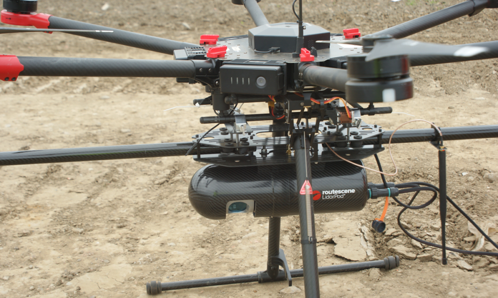
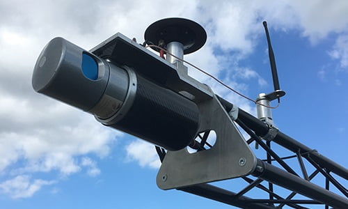
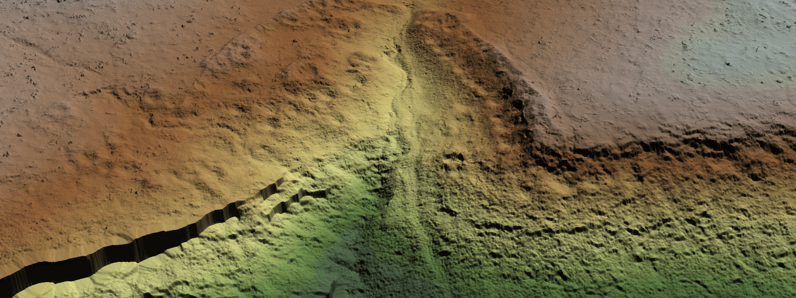
Get started todayAll the complex integration is complete. The result – an immediately operational, robustly engineered, survey-grade turnkey solution combining workflow methodologies, software, hardware and firmware.
Ready for immediate use. Literally the only extras you need are a drone and batteries to conduct an aerial survey OR a car and roof rack to perform a ground survey. It’s that quick and easy.
We understand the problems you need to solve and have combined intelligent thinking with survey experience to design a reliable and practical solution.
The Routescene® product is non-ITAR (International Traffic in Arms Regulations) rated so it is not subjected to export controls. The LidarPod® has been independently CE and FCC certified to ensure it is compliant to electrical and radio transmission standards.