Routescene LiDAR forestry mapping case study published in GIS Resources magazine
Posted on January 17, 2022 in Media
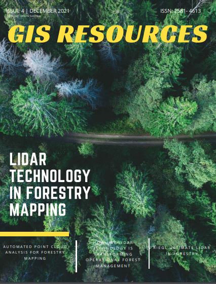
The December 2021 edition of GIS Resources magazine is dedicated to “LiDAR Technology in Forestry Mapping” exploring how forest administrators and planners can rely on LiDAR technology to provide actionable information.
LiDAR forestry mapping case study using the Routescene UAV LiDAR System
Summary of the LiDAR forestry mapping project
Featured on pages 10 to 13, the article describes how the Routescene UAV LiDAR System and post-processing software, LidarViewer Pro, was used for a woodland survey near Barnsley, UK. The case study illustrates perfectly how the technology can be used for operational forest and land management and conservation.
Traditionally data has been gathered using photogrammetry or walking the site, however, both techniques have their limitations for wooded and forested sites. UAV LiDAR is now recognized as a valuable tool to provide significant worth to monitor and manage the health and value of a forest.
The point cloud data captured can be used to create a Digital Terrain Model, from which useful metrics such as tree height can be determined and hence growth rates can be calculated. These measurements are critical for assessing forest health, to detect disease, to derive carbon sequestration and biomass estimates, to establish drainage patterns and develop forest fire mitigation plans.