Routescene at GeoWeek 2020
Posted on February 10, 2020 in Events, News
Routescene will be exhibiting at GeoWeek 2020 in Washington DC, March 23-25th. GeoWeek includes two conferences – International LiDAR Mapping Forum (ILMF) 2020 and American Society for Photogrammetry and Remote Sensing (ASPRS) annual conference.
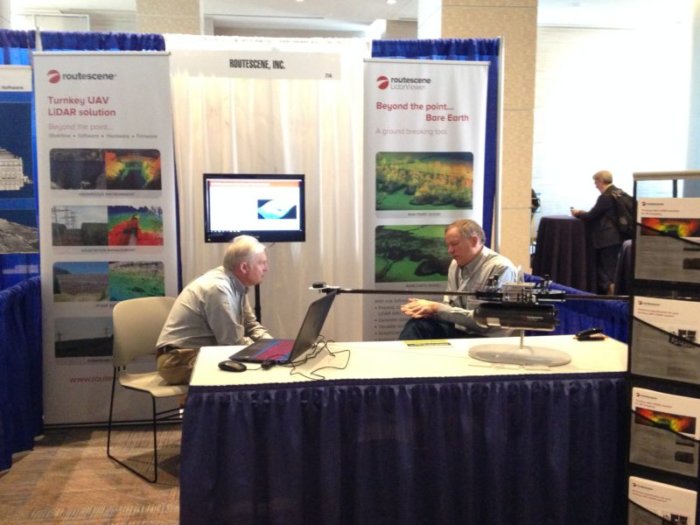
Routescene Inc exhibiting last year at ILMF 2019
Come and meet with the Routescene team (Booth 315) to learn about the latest developments of the Routescene UAV LiDAR System and LidarViewer Pro software.
Routescene will be promoted across the following 7 conference technical and poster sessions:
1. Extreme Project Environments: Application and processing of high-resolution UAV-deployed LiDAR in Arctic watersheds with dense, multi-layer vegetation
Speaker: Cathy Wilson, Los Alamos National Laboratory
Wednesday 25th March 2020, 09:00 to 10:00
ILMF 2020 conference session
See more here
2. Forestry: Forest canopy structure characterization using high-density UAV LiDAR
including Q&A and panel discussions with session presenters
Speaker: Christian Andresen, University Of Wisconsin Madison
Wednesday 25th March 2020, 11:30 to 12:30
ILMF 2020 conference session
See more here
3. UAV LiDAR Best Practice
Speaker: Gert Riermersma, Routescene Inc
Wednesday 25th March 2020, 10:30 to 10:45, Room 209B
ASPRS 2020 technical session
Gert has a wealth of experience using LiDAR since 2008 and LiDAR on UAVs since 2013. As CTO and founder of Routescene and a qualified land & hydrographic surveyor, Gert’s expertise and 30 years international experience have informed the design and manufacture of Routescene’s LiDAR system.
This 15 minute presentation covers the key areas of best practice when using LiDAR on UAVs. Fundamental to using the Routescene UAV LiDAR system is a carefully thought through workflow – which spans the entire utilisation of the solution – from survey and project planning, data acquisition, data processing to the final outputs or “actionable information”. Gert will highlight the best practice to implement at each step in this workflow to ensure the best possible outcomes each time.
- Understanding your clients requirements and setting expectations, remembering that a huge amount of data can be collected.
- Considering the end result and the complete workflow before you begin.
- Understanding accuracy and how equipment limitations can restrict what can be achieved.
- How absolute accuracy is derived.
- Flight planning and Quality Assurance (QA), including ground control points and checklist before take-off to ensure the quality of the data collected.
- Managing the data and post-processing.
- Uploading data, use of filters and advantages of the Bare Earth tool.
- Importing final data into other software packages.
Case studies will be referenced, including Sand Canyon in Colorado, USA and Alderney in the Channel Islands, UK, to illustrate the benefits of implementing best practice and the direct impact on results.
4. Characterizing Forest Canopy Structure Using High-Density UAS LiDAR
Speaker: Christian Andresen, University Of Wisconsin Madison
Wednesday 25th March 2020, 14:00 to 14:15, Room 209B
ASPRS 2020 technical session
See more here
5. UAS LiDAR Mapping of an Arctic Tundra Watershed – Challenges and Opportunities
Speaker: Adam Collins
Authors: Adam Collins | Christian Andresen | Lauren Charsley-Groffman | Tom Cochran | Julian Dann | Emma Lathrop | Gert Riemersma | Erika Swanson | Andre Tapadinhas | Cathy Wilson
Wednesday 25th March 2020, 14:30 to 14:45, Room 209B
ASPRS 2020 technical session
See more here
6. An Intercomparison of LiDAR and Photogrammetry Techniques as Applied to Surface Change Detection of Underground Explosions
Speaker: Adam Collins, Los Alamos
All Author Full Names: Adam Collins | Tom Cochran | Julian Dann | Brandon Crawford | Emma Lathrop | Anita Lavadie-Bulnes | Damien Milazzo | Gert Riemersma | Erika Swanson | Andre Tapadinhas | Emily Schultz-Fellenz
Wednesday 25th March 2020, 15:15 to 15:30, Room 209B
ASPRS 2020 technical session
7. LiDAR Mapping Sand Canyon Pueblo – Technical Collaboration for Site Visualization and Reassessment
Gert Riermersma, Routescene Inc
Tuesday 24th March, 10:30 to Wednesday 25th March 17:00, Room 204C
ASPRS 2020 poster session
Gain free exhibit hall passes or 15% off any ILMF Full Conference pass. Use voucher code: ILMF2030084